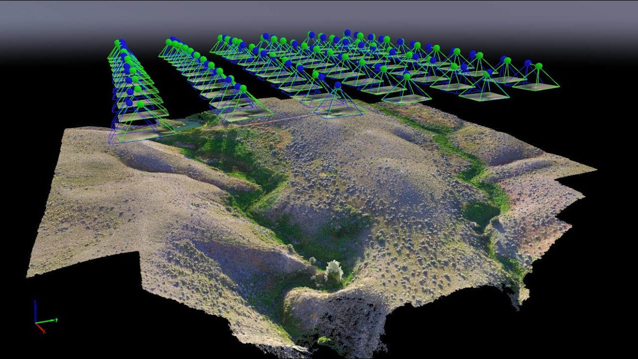
Specialization in 3D Mapping
It is an enhanced pilot training course and mainly focused on career aspect. Trainees taking up the course will be able to:
- Plan & estimate payload considerations, camera options, resolution etc. & other pay load possibilities.
- Identify different payloads including cameras like Lidar, Thermal, RGB, Hyper spectral etc. Payload considerations, camera options, resolution, still photography, video photography, vibration and Jello effect, exposure settings, camera lenses, video Frame rate, image files, delivery payloads, and other pay load possibilities.
- Apply knowledge of Ground Control Stations & track data using telemetry.
- Introduction to telemetry, data tracking, mission planning, and 3D mapping and modelling.
- Plan Drone missions.
- Perform 3D mapping and modelling.
- Carry out First-person-view (FPV) flying.
- Firstperson-view (FPV) flying, safety and drone racing options.

